eSA-Marine system
The eSA-Marine system maps past 'hind-cast', present 'now-cast' and future 'forecast' ocean conditions in South Australia (SA).
See conditions for Australia's southern coast and shelves
Ocean forecast, now-cast and hind-cast conditions mapped across the southern coast and shelves.
See conditions for Spencer and St Vincent Gulfs
Ocean forecast, now-cast and hind-cast conditions mapped in the two gulfs.
About eSA-Marine
Discover how the eSA-marine system benefits our fisheries and aquaculture industries, and the partnerships and research supporting the work.
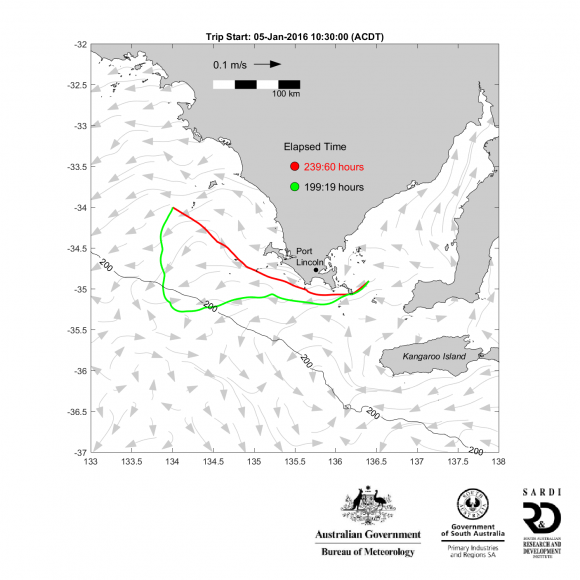
Case studies
Read more about the case studies we have undertaken as a part of this ongoing work.
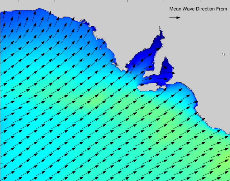
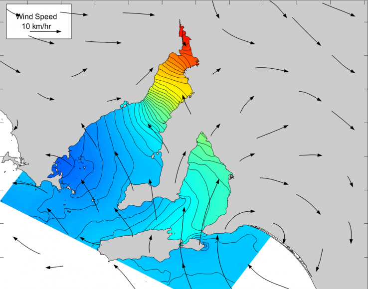
Ocean conditions mapped in eSA-Marine
Conditions mapped in eSA-Marine include:
- sea surface height 'sea level'
- sea temperatures
- sea salinity
- ocean currents
- wind speeds and directions
- peak wave period and height.
Disclaimer
This is a research and experimental product and no liability is assumed for the use of the eSA-Marine system or its products, including now-casts and forecasts. This includes all conditions outlined in the general PIRSA disclaimer which can also be accessed at the bottom of this page.
Moreover, other sources of ocean now-cast/forecasts and/or data may not align or be consistent with output from the eSA-Marine System, which may be in error and/or out of date.
Users should obtain their own independent advice. No liability is assumed for the eSA-Marine products presented here.
No results were found