AgInsight South Australia
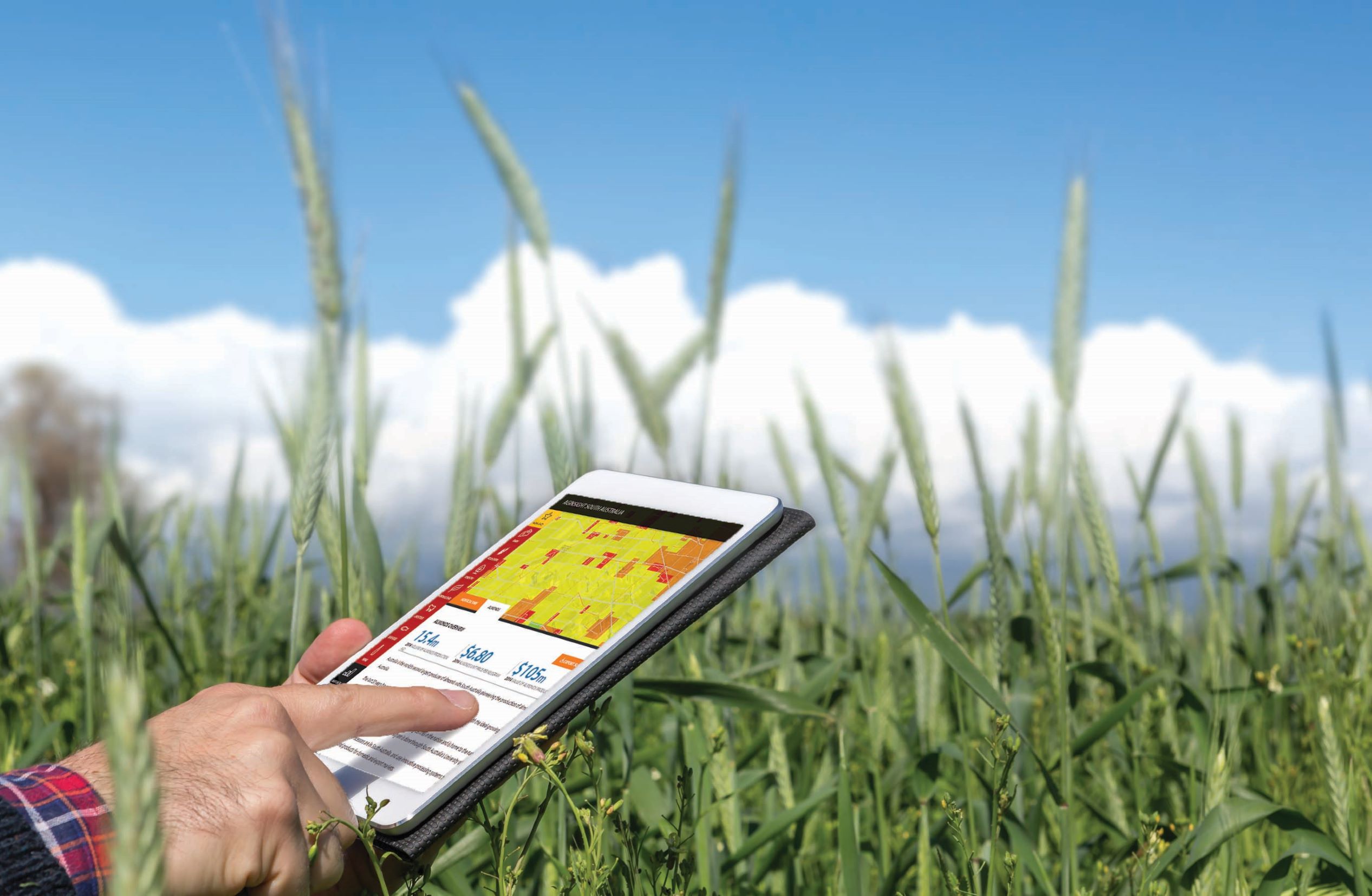
AgInsight South Australia is an interactive information and 3D mapping portal that provides users with comprehensive agricultural, economic and infrastructure data.
The portal integrates commentary, statistics, and real-time news with more than 270 layers of geospatial information, including:
- industry potential models
- soil type
- properties, land use, and development zoning
- transport, energy, and water infrastructure
- climate.
This information helps local, national, and international investors identify business opportunities and commodity options in SA.
Explore the portal and apply our state's agriculture potential to your business strategy.
AgInsight South Australia portalAwards
AgInsight South Australia has been recognised both locally and nationally as providing investors with a greater understanding of what the state's primary industries can offer. It has been awarded the:
- 2016 South Australian Premier’s Award for public sector digital innovation
- 2016 Australian Government ICT Award for geospatial excellence.
Features
Watch the video below about how to use AgInsight South Australia.