Wudjari Ancient Coastlines, April 2024
Date
18 April to 30 April 2024
Background
This project integrates western science with cultural science and knowledge systems to try to resolve how marine and coastal landforms have evolved in relation to climate and sea-level change.
The Wudjari Traditional Owners, represented by Esperance Tjaltjraak Native Title Aboriginal Corporation (ETNTAC), lead a long-term project on Wudjari Ancient Coastlines that is guided by Elders' aspirations to explore submerged cultural corridors in the Recherche Archipelago. First Nations people have maintained connections to lands inundated by post-glacial sea-level rise over the last 20,000 years.
As the first targeted, collaborative study of its kind, this program marks a positive shift toward proactive Indigenous-led planning, research, governance, and management in Australia. It provides impactful data for the newly established South Coast Marine Park (SCMP), within which the Archipelago is a significant feature. The SCMP park will be co-managed by Department of Biodiversity Conservation and Attractions (DBCA) and ETNTAC.
This remote, undeveloped area lacks baseline ecological, bio-cultural, and geological knowledge. Identifying submerged cultural places and landscapes is a key objective for managing SCMP and protecting the culture and heritage of Recherche. Pairing ecological data with geophysical and sedimentary analysis will improve understanding of marine habitats and biodiversity, supporting better conservation and management decisions. By combining western science with cultural knowledge systems, all stakeholders benefit from cross-cultural training and new ways of understanding landscapes. This approach will also foster co-designed research and collaboration, particularly among student participants, for future studies.
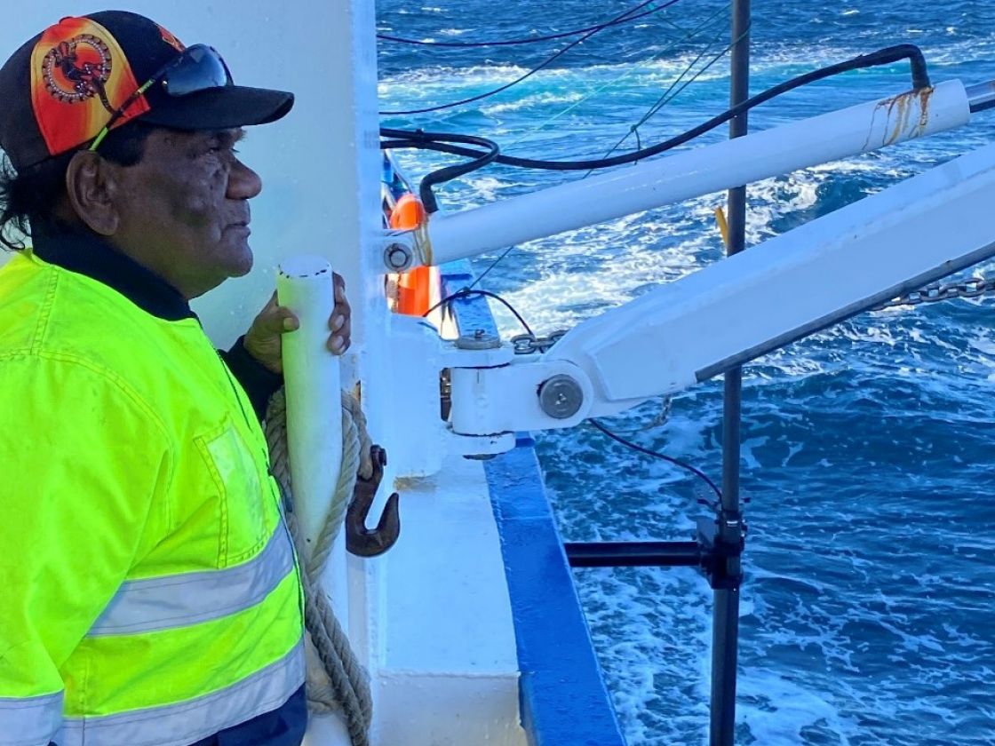
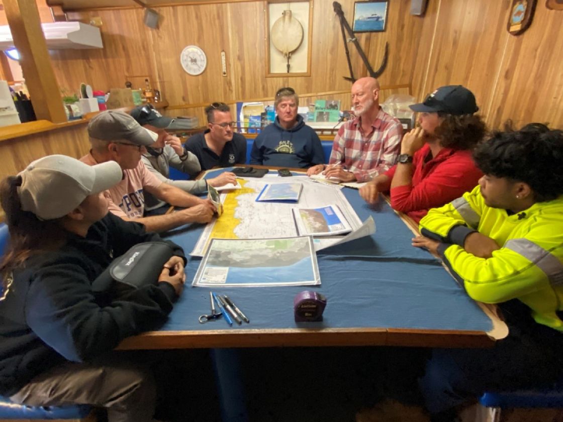
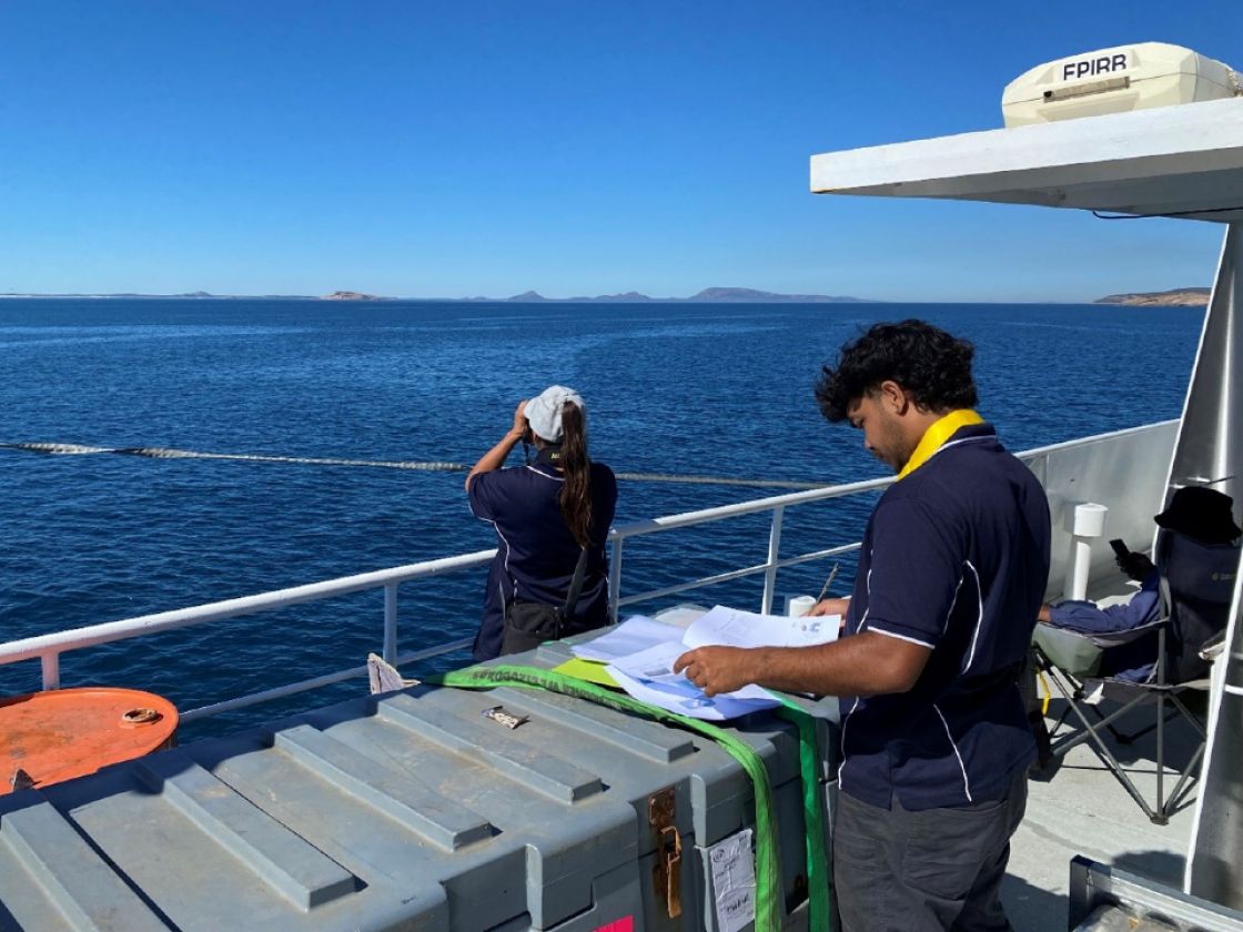
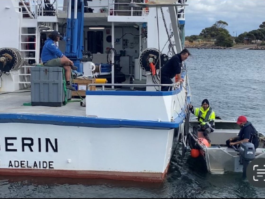
As part of the broader project, this voyage brings together members of the SARDI team, vessel operators and research partners to foster genuine collaboration and effective research, building trust and strengthening connections with our community and cultural landscape.
Voyage
Despite a reduction in fieldwork scope due to weather, the primary project objectives were successfully achieved within nearshore areas between Esperance port and Middle Island on the 12-day voyage. Multi-beam sonar was deployed extensively, while sub-bottom profiling was conducted in select areas. Although no paleochannels were identified, potential stratigraphic features were observed and will undergo further analysis.
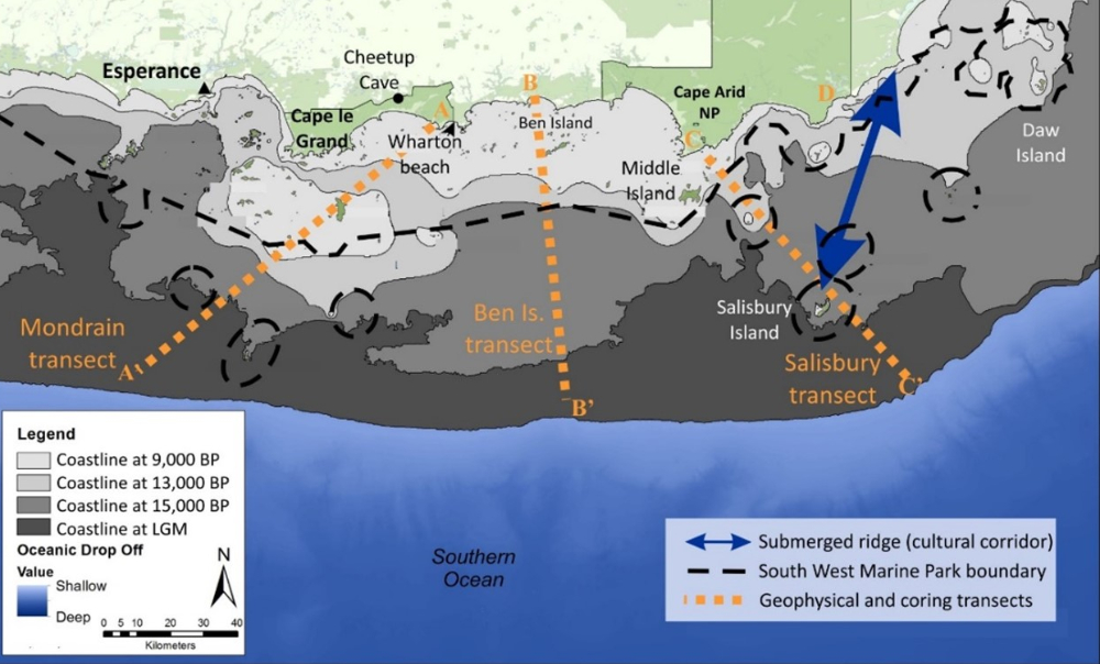
Study area, 121°30 – 124°15’E, forming 210,000 km2 of seafloor, with indicative survey and coring lines = orange lines. Land and islands = green. Shelf areas = grey, shaded to show approx. coastline configurations at past stages of relative sea level (RSL). Approx. location of the submerged cultural corridor = blue arrowed line. Proposed SCMP boundary = black dashed lines.
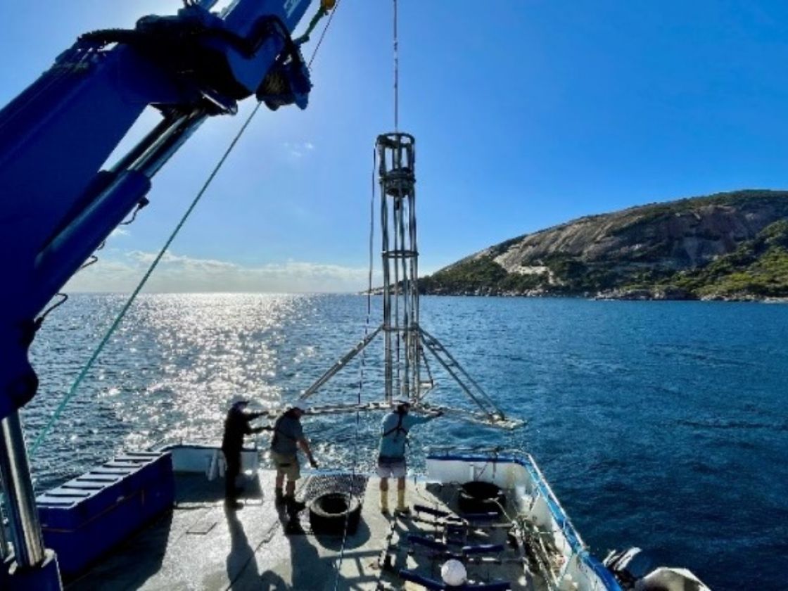
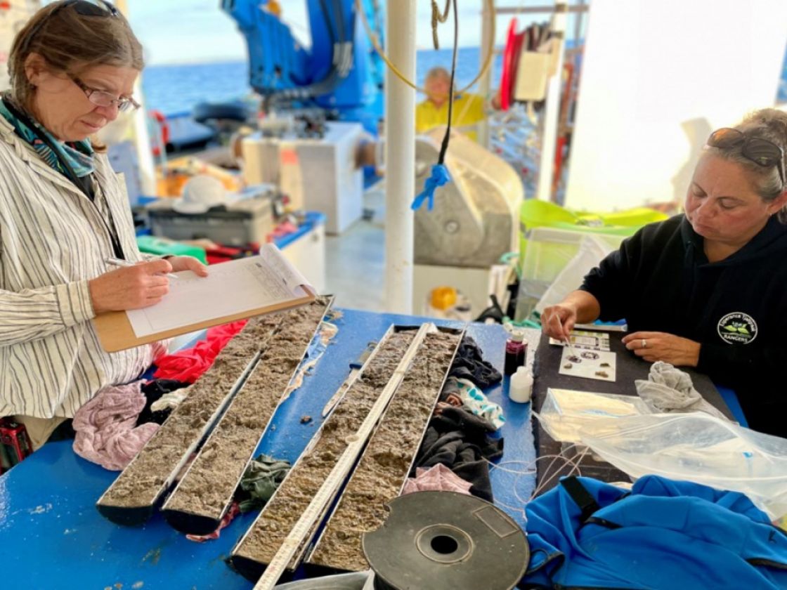
Vibrocoring resulted in the retrieval of four cores, confirming a thin layer of Holocene marine sands over a granite or calcarenite base. Manual coring in Lake Hillier provided promising samples expected to contribute to a high-resolution palaeoclimate record. The map below shows the locations of vibrocoring.
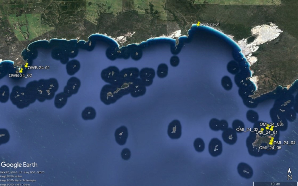
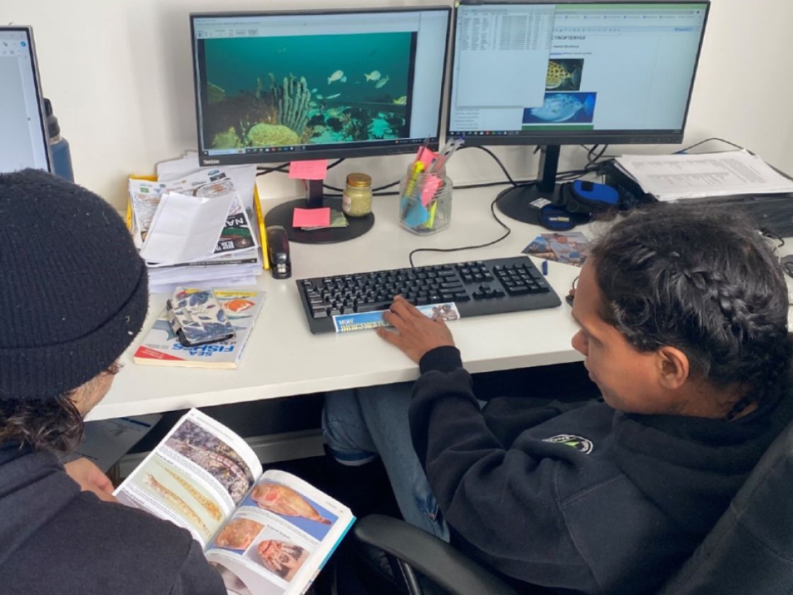
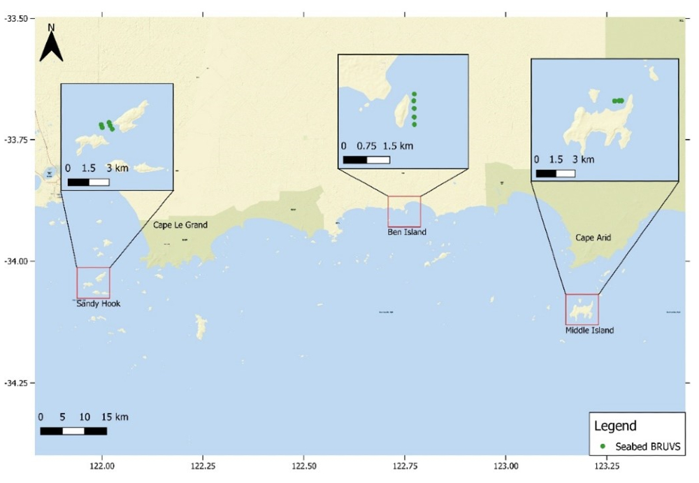
Baited Remote Underwater Video Surveys (BRUVS) were conducted at multiple sites, with some targeting potential freshwater springs and accompanied by sediment sampling for validation. The map below shows the locations of the BRUVS deployments.
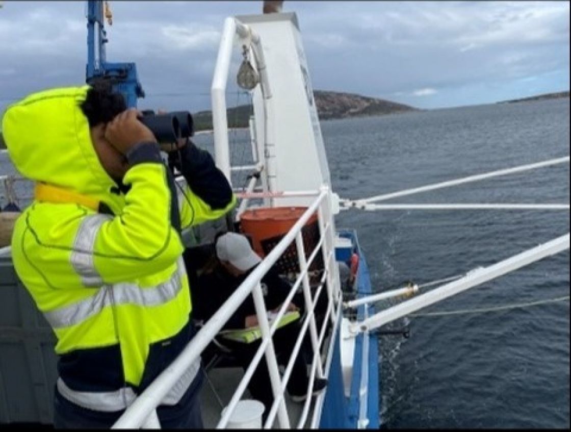
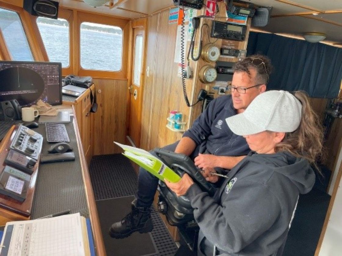
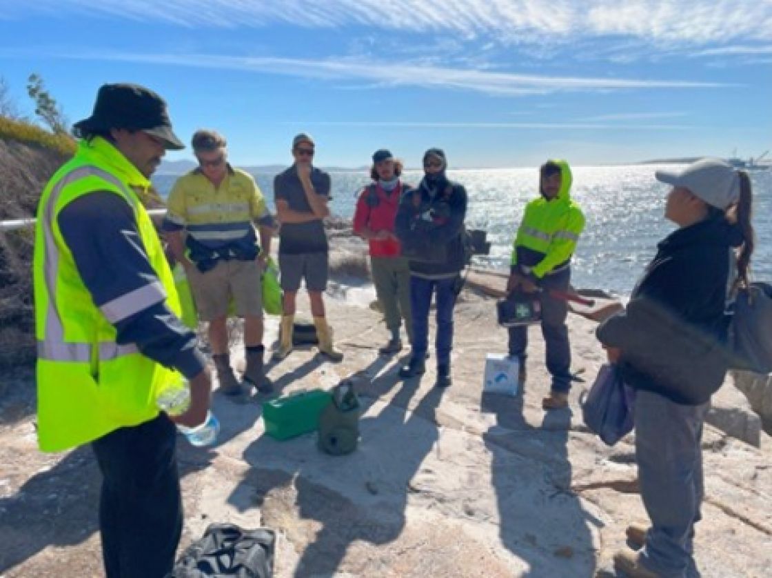
A key success of the voyage was the hands-on marine geoarchaeological training provided to ETNTAC Rangers, equipping them with valuable experience in shipboard operations, remote fieldwork, and scientific research. Like all programs operated and developed by ETNTAC, the expedition was heavily focused on practical opportunities to support the Tjaltjraak healthy land and sea program team in marine studies, geoarchaeology, hydrographic survey, shipboard operations - and applying their Marine Mammal Observation training credentials.
Outcomes
Research has provided a clearer understanding of the likely seabed structures around the islands and nearshore areas of the Recherche Archipelago, as well as the scope of work required for further mapping.
Key findings include the identification and sampling of a 6200-year-old palaeo-land surface at shallow depths, along with a high-resolution sedimentary record going back at least 4000 years from Lake Hillier on Middle Island. While a small section between Esperance and Middle Island has been mapped, additional ship time is needed to expand this work across the vast archipelago.
As a result of this voyage, we have initiated a cultural communication and outreach program, begun analysing geophysical survey data and marine core samples, and are actively exploring opportunities to further develop ranger skills on Sea Country. Additionally, as mentioned, the project provided hands-on training for the Tjaltjraak HLSP Team in shipboard operations, marine mammal observation, scientific data collection, and remote area operations – developing the capacity of the team and their evolving Sea Country Ranger program linked to both state and Commonwealth waters.