Benthic habitat survey in Gulf St Vincent
This project aims to gain further knowledge of Snapper habitats in Gulf St Vincent, which is needed to:
- provide reliable annual estimates for indexing juvenile recruitment
- understand movement patterns
- locate Snapper at different life stages.
Background
The most useful information about Snapper populations is an index of juvenile recruitment – see recruitment variability and the potential effects of climate change.
The relative abundance of juvenile Snapper between years indicates recruitment strength, which can be used to predict future trends in adult numbers. For the index to provide reliable annual estimates, the key nursery areas supporting juvenile Snapper must be sampled consistently each year.
Snapper occupy different habitats throughout their life, ranging from soft sediments that are favoured by juveniles, to high relief structures that act as aggregation sites for adults.
The preferred habitat for juvenile Snapper (less than 10 cm) is soft, muddy bottom, as identified through annual surveys in northern Spencer Gulf from 2000 to 2010. In Gulf St Vincent, there remains uncertainty about the distribution of suitable nursery areas for Snapper.
Objectives
The project investigates the spatial distribution and relative abundance of benthic (seafloor) habitats in Gulf St Vincent, with emphasis on areas of soft, muddy bottom that may support juvenile (age-0) Snapper. The study will:
- Use towed underwater video and sediment analysis to quantify habitat types at approximately 150 sites.
- Compare new data to previous surveys in the 1960s and early 2000s.
The results will be considered in terms of trends in juvenile recruitment and stock abundance for Snapper over time. This will inform future restoration projects.
Project update
February 2025 – surveys completed
The survey was completed across 2 cruises in September and October 2024. Over the 2 weeks at sea, there was a total of:
- 167 camera tows completed, totalling 83.5 km
- 207 sediment samples collected.
Formal analysis of camera footage and sediment samples is ongoing, with comparisons between this survey and existing datasets to be undertaken in coming months.
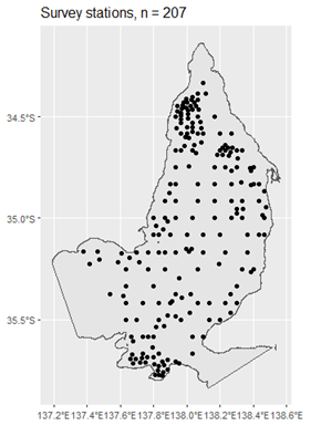 Locations for towed underwater camera and sediment sample collection in GSV
September 2024 – benthic habitat survey trials
Using data collected from past benthic habitat surveys (2000–2001) and information from ongoing juvenile recruitment surveys, a site map has been developed for surveying the gulf to find locations that act as nursery grounds for Snapper.
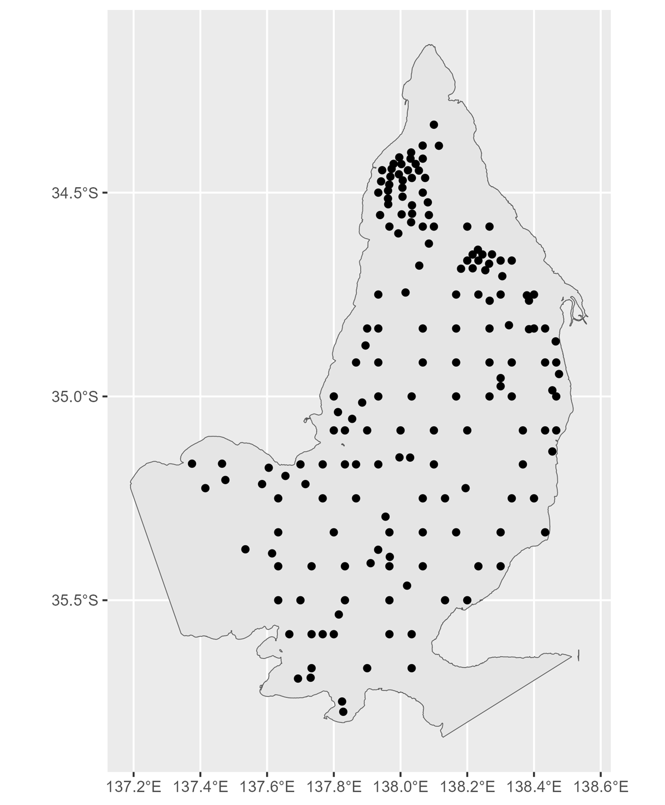
Proposed site map for Gulf St Vincent habitat surveys – a subset of 150 of these sites will be surveyed in October 2024
To identify habitats of interest, video camera tows are used to visually assess the seafloor at each site and a sample of the sediment is taken for grain size analysis. Surveys to date have shown only low-relief reef and seagrass meadows.

Benthic habitat survey sediment sampling
Surveys in September 2024 have finalised gear and methods testing, and 12 stations have been successfully sampled. Surveys will continue throughout October.
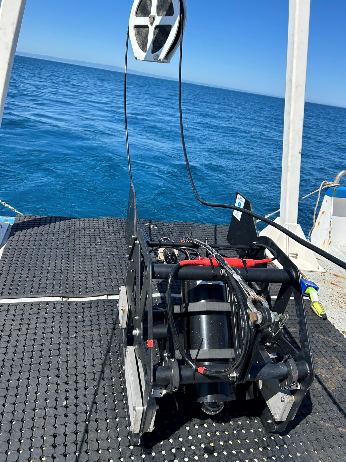
SARDI towed camera