
Crop management imagery – AirborneLogic
Hyperspectral imagery and precision farm mapping, to assist with crop analysis, vegetation, assets and topography.
Benefits
AirborneLogic remotely monitors crops for:
- heat or moisture stress
- canopy growth and cover
- nutrient management
- lost productivity
- pest and disease impacts.
This allows for informed decision making, early intervention, and rapid response to emerging issues.
The technology provides remediation and optimisation strategies, helping growers to:
- improve growing efficiency and crop uniformity
- decrease costs of production.
How it works
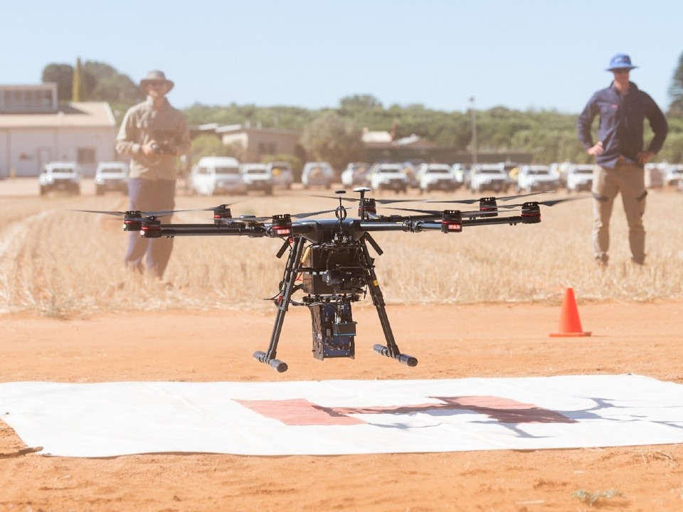
AirborneLogic utilises drone, fixed-wing aircraft or helicopter. Imagery is taken of the property with a variety of thermal and high-resolution cameras and sensors.
Complex data is then interpreted for remote sensing of crops and environmental conditions. All interpreted maps are transferred into a digital format that is easily accessible via computer, or on an app for phone or tablet.
Connectivity requirements
The digital platform is accessed online.
Pricing model
Upfront costs.
See it in action
To view the AirborneLogic technology, contact the AgTech Extension Officer at:
Loxton AgTech field day demonstration
Contact vendor
Andy Chambers – Managing Director
Phone: 0419 817 205
Email: andy@airbornelogic.com.au
Dan French – Business Development Manager
Phone: 0400 759 245
Email: dan@airbornelogic.com.au